Friday, May 05, 2006

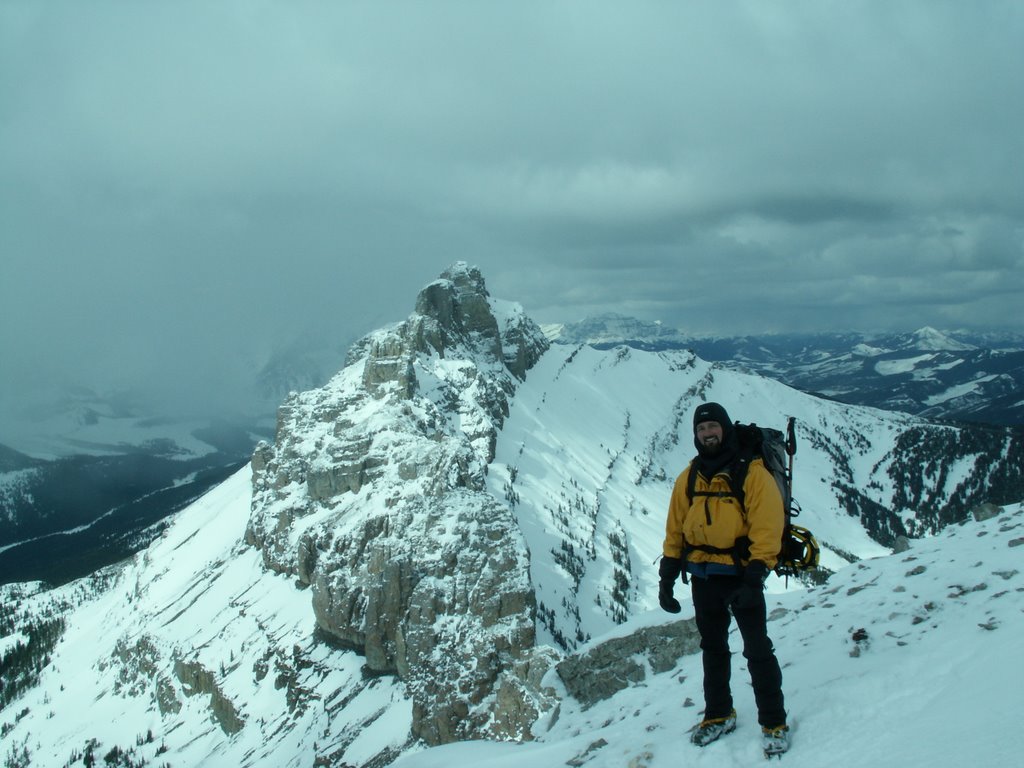
Trips May 4th to May 11th

Sometimes finding partners can be a pain. While some hiking clubs do exist in the area, the adventurous demographic seems to get left out. Often climbing communities can be hard to break into, because alll one really needs is one steady partner. While this will never change, sometimes it is nice to get a group together for a day at Drywood, or a easy hike, or bike. In light of this, I am going to start a section where people can post their planned trips for the week. I doubt very much crowds will ever be a problem. It also doesn't mean you need to feel like a guide. Hopefully it just means you can get a chance to meet a few more people than you normally would, and perhaps head to a few places you normally wouldn't

Just post your plans here if you feel inclined. I may end up changing things to a bi-weekly or monthly basis, depending on how things go.

Tuesday, May 02, 2006

Scott Whiteside Turns 40!


Just thought i'd give everyone a public notice that Scotty Whiteside is turning the big 4 0 on Monday May 8. Let the haggling begin.

History


tracks in front of Bellevue
Originally uploaded by cgoble72.
Not too many people are aware of some of the history of the park. In front of Bellevue mountain (the first ridge visible on the right up the red rock highway) some mining exploration took place at the start of the Century. I believe people were looking for copper among other things. The red and green rock in the area derives it's color from different copper ions. Some trenches and other dirt piles can be seen along the prairie ridges here.

Old tracks from the Pincher road into the park can also be seen. People used to ford Pass creek just by the Golf Course, having driven up on the prairie to get into town. The hiking trail to the Buffalo paddock generally follows this old route. One can see thistles along this trail, marking the route horses used to take. (The thistles get deposited from horse droppings from feed contaminated with thistles).

In this area one can also see old travois tracks from Natives travelling up and down the valley. John Dormaar from the UofL has sent me some information on these and some of the history in the area. Later this week, I will put up some information from the boundary commissions that surveyed the border.

Red Rock Open


Just south of Twin Lakes
Originally uploaded by cgoble72.
As people probably know, the park gate is now staffed and checking passes. The road to red rock is now open as well, giving a short window for some of the undone snow coluoirs up in that area. This morning we had 6 inches of new snow in the park, so skiing is probably still pretty good. Sullivan's still looks in decent climbing shape. The hump is generally pretty warm, and the rivers and creeks are coming up.

The Belly River is coming up nicely, and the play spot around the corner is looking pretty good. You still have to watch out for the power cords strung across the river by the seismic crew working in the area. (They are unflagged and any river obstruction for passage is actually illegal!)

Park staff have started to fill up the park, and things are starting to pick up. Rennovations to the Lodge's restaurant should be finished soon. This was a well needed upgrade as the architect who planned the position of the main building must have been on crack -or severely hampered by an illogical bureacuracy.

Don't expect any moves from the pizza place. Tamarack mall is putting in a small coffee house and will hopefully be getting on the landscaping out front soon.

My place is also coming. The kitchen cabinets have been ordered, the ceiling drywall is halfway up, and the never ending rock work in the shower is coming to a close. Does that mean I may actually have time to go boating or climbing before I move to Calgary?

Email me